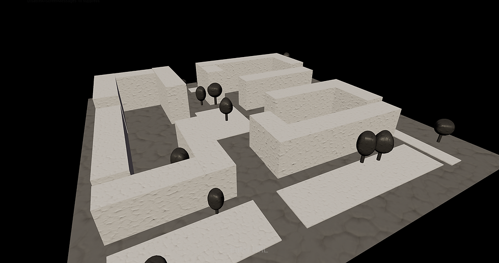
Urban Planner Group Project
This was our first project we work on in a group. It was challenging at times but in the end we were all very happy. We were tasked to choose one of six assignments from a fictionall client and we landed on creating an urban planner. The project was built in Unreal Engine with some low poly assets imported from Blender.
Terrian - Isak Lagerqvist
Houses - Isak Lagerqvist
Roads and tracks - Jakob Råberg
Waterbrush - Olivia Nygren Gistedt
Outliner Shader - Olivia Nygren Gistedt
Save/Load - Erik Idh & Isak Lagerqvist
Import from Explorer - Erik Idh
Tree Generator - Johan Ström & Omar Isa
Trees - Omar Isa
UI design- Olivia Nygren Gistedt & Jakob Råberg
UI funcitonality - Johan Ström
What I've been working on

In this project we split up the work between the six of us working on it, here are the parts I've had a major hand in. In the beginning I was part of the research of how we could update the terrain in runtime but Isak found a better way and therefor I worked on these parts instead.
Importing from Explorer
Using a plugin called Easy File Dialog we could access the explorer to import pictures that would be used as a heightmap. With this heightmap we could then set the material instance parameter to this new value and then use the material instance as a basis for updating our terrain in runtime.


Save/Load
We wanted to have a save and load function to be able to open up the same project at a later date. We managed to solve the problem off how to save the transforms of the houses and terrain but were unable to do the same with roads and rail roads unfortunately.


Height shader
I worked on a shader as well that would show the height by displaying the lowest point as purple and the highest as red and then all the colors in between. We never implemented this shader unfortunately due to the time running out.